Maps and Actions
A Quick Video Primer: (1:49)
This Regional Natural Resources Plan is intended to help protect and improve our region’s land, water, and wildlife.
Earlier this year, we asked what types of natural resources matter most to you. Your feedback helped us create maps that show where we have strong natural areas and where we face challenges.
THE MAPS SHOW INFORMATION ABOUT:
- Water Quality – how clean or polluted our rivers and streams are
- Terrestrial Habitat – places where animals and plants live and move
- Flood Resilience – areas that help manage or are at risk from flooding
- Recreation and Culture – outdoor recreation sites and cultural areas
- Working Lands – farms and forests that produce food, fiber, and jobs
You can:
- View the Interactive Maps in the Natural Resources Plan StoryMap to explore the data in more depth
- Feedback closed January 18, 2026.
Everyone can play a role—local governments, community groups, state agencies, and residents like you.
Project Overview
Healthy natural resources provide clean water and air, ensure our quality of life, and sustain our economy. Virginia’s rich set of natural resources include our forests, waterways and bays, soils, wildlife areas, wetlands, dunes, historic landscapes, and parks. These resources are woven throughout our towns, cities, and subdivisions as well as across our mountains, valleys, and shores.
The current project builds upon the 2009 regional green infrastructure plan to include five categories of landscape features: terrestrial habitat, water quality, recreation & culture, flood resilience, and working lands (agriculture, forestry, for food and fiber). This plan update can provide a foundation for additional planning efforts in the region, as well as inform program and policy decisions.
Public input was open from February-March 2025 and December 2025-January 2026 to gather feedback on the plan.
Your Feedback Shared
Between February and March 2025, we asked community members to share their input on what features should be included in the region’s natural resources plan.
These are some of what you told us you cared about
Landscape Features To Include
Most Requested Improvements
Across multiple goals, participants overwhelmingly agreed with protecting water resources, preserving habitats, expanding trail connections, enhancing historic and scenic sites, supporting sustainable governance, and using nature-based solutions for flood resilience—all rated very highly (over 4 out of 5).
Participants also provided thoughtful suggestions for additional focus areas, including protecting wetlands, restoring urban tree canopy, improving air quality, addressing light pollution, preserving cultural heritage, and increasing public education and engagement.
Highest Priority Issues
FAQ and Definitions
FAQ

Opportunity Map from 2009 Green Infrastructure Plan: https://planrva.org/wp-content/uploads/2019/03/RR-...
The terrestrial habitat section of the plan analyses critical wildlife habitat cores, natural landscapes, and biodiversity corridors. This lens will inform conservation strategies by highlighting priority zones for land protection, habitat restoration, and mitigating the impact of urban development on native ecosystems.
This category examines lands which provide ecosystem services through water quality protection. It includes the lands protecting high quality waterways, and examines opportunities for high-impact land conservation surrounding impaired (low quality) waterways.
This category examines recreation and cultural opportunities across the region, and provides a network analysis of potential trails to connect citizens to these opportunities.
This category highlights areas of flood resilience and susceptibility based on both landscape features and demographic datasets.
This category, comprised of high quality agricultural and forestry lands, used for producing food and fiber, highlights the areas where these lands are likely to be converted by development pressures.
Toolkit
Download items needed to share about this effort
We'd love your help spreading the word so that more voices are heard. Would you share with your neighborhood association, house of worship, school, or community group?
- Post about the plan to your social media and tag us! @planrva
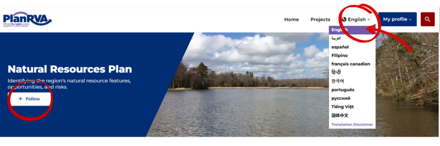
- Encourage people to follow this and other projects of interest to receive updates about new phases or public input opportunities! (Click the follow button at the top of the page)
- Click on the globe at the top right to translate into 10 language options.